
Filter Post Type
NewsVideoProductEventLink
Sort:
Most Recent
Tagged:Mapping
1–2 of 2

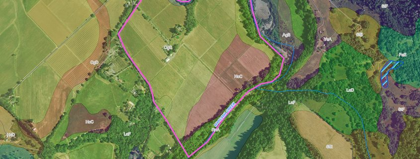
The Geographic Information System Advantage The Ray Carlson & Associates, Inc. business model includes an experienced Geographic Information System (GIS) division which serves to enhance the company’s leadership position among land surveying companies. A geographic information system is a blending of software, hardware, and data for capturing, managing, analyzing, and displaying all forms of geographically referenced information. Layers and tables of information are combined to provide a framework in order to plan, model and make better decisions. Your purpose dictates which layers of information are used. Internally our GIS Division tracks all jobs through a customized GIS-enabled database which allows for increased data access, tracking of submittals and efficiency among adjacent jobs with the integration of thousands of job records. As GIS improves our surveying, so the combination of high precision GPS and land expertise of our surveying professional counterparts allows
00
April 15, 2025
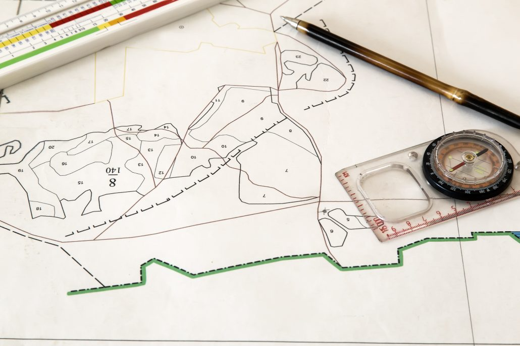
When it comes to selling vineyard or winery property, it’s not just about location—it's about clarity, compliance, and confidence. That’s where Ray Carlson & Associates comes in. With more than 40 years of experience in surveying and land consulting, Ray Carlson & Associates helps wine industry professionals protect their investment and maximize value by providing comprehensive, high-precision land surveys. Whether you're selling your estate or subdividing a large property, a survey is more than a technical requirement—it’s a strategic tool. Why a Land Survey Matters When Selling Selling a vineyard or winery often involves complex property features—easements, access roads, water rights, and unique zoning requirements. A boundary dispute or an overlooked flood zone designation can delay or derail a deal. Ray Carlson & Associates offers a suite of services to ensure your transaction goes smoothly: Boundary and Easement Sur
10