
Filter Post Type
NewsVideoProductEventLink
Sort:
Most Recent
Tagged:Drones
1–1 of 1

December 13, 2024
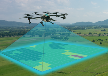
In the Wine Industry, precision is key. Whether it's for developing new vineyard sites, expanding existing operations, or managing irrigation systems, having accurate land data is critical. This is where modern surveying technology comes into play. Ray Carlson & Associates has been at the forefront of using these cutting-edge technologies to provide accurate and efficient land surveys for the North Bay wine industry, including vineyards in Sonoma, Napa, and beyond. The Role of Drones in Surveying Drones - or unmanned aerial vehicles (UaVs) - have taken land surveying to new heights. With high-definitiion cameras and GPS-enabled flight paths, drones capture precise aerial images that can be stitched together to create detailed topographic maps and 3D models. These models help vineyard owners visualize their land in ways that were once impossible with traditional surveys. Using drones to map vineyard properties offers several advantages: Efficient Coverage
00