The Geographic Information System Advantage
The Ray Carlson & Associates, Inc. business model includes an experienced Geographic Information System (GIS) division which serves to enhance the company’s leadership position among land surveying companies. A geographic information system is a blending of software, hardware, and data for capturing, managing, analyzing, and displaying all forms of geographically referenced information. Layers and tables of information are combined to provide a framework in order to plan, model and make better decisions. Your purpose dictates which layers of information are used.
Internally our GIS Division tracks all jobs through a customized GIS-enabled database which allows for increased data access, tracking of submittals and efficiency among adjacent jobs with the integration of thousands of job records. As GIS improves our surveying, so the combination of high precision GPS and land expertise of our surveying professional counterparts allows us to, in turn, to be considered uniquely advantageous among GIS consultants.
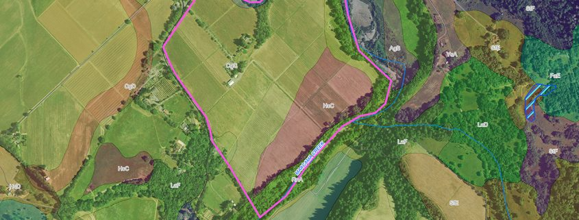
In addition to supporting surveying and mapping services, GIS at Ray Carlson and Associates, Inc. offers considerable benefits to vineyard owners. GIS brings a series of new and highly innovative technologies to industry and agriculture for work planning, inventory control, and site analysis solutions. With seasoned vineyard and certified GIS professionals, we have started from the ground up to build the only verifiable vineyard As-Built mapping system giving you vine level management of your water system and drainage.
Your Management Decisions Are Only as Good as Your As-Built Mapping.